Katoomba’s a bit fresh today

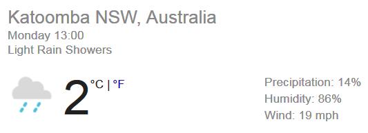
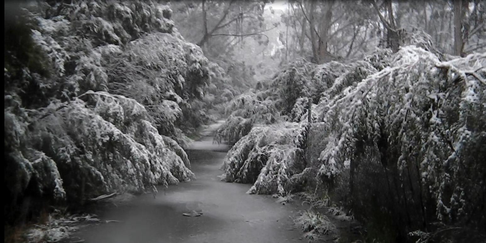
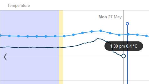
We’ve got the first snow flurry in Katoomba for 2019. Global cooling has hit the Blue Mountains. In fact the temperature when the snow flurry commenced an hour ago dropped to 0.4 Celsius.
 Last week we had a balmy mid twenties.
It’s due to a series of cold fronts crossing over the south-eastern part of Australia. In fact the Bureau has issued a Severe Weather Warning for the alps region up to Sydney including oiur region they call the Central Tablelands.
“A series of cold fronts crossing NSW over the next few days. Damaging winds expected in association with the strong cold front crossing the state today. Damaging winds likely to return later Tuesday in association with the next front.
Damaging winds, averaging 60 to 70 km/h with peak gusts in excess of 90 km/h are forecast today in Illawarra, Blue Mountains, Sydney Metro, Lower Hunter including Newcastle Metro, and the eastern parts of Snowy Mountains, Southern Tablelands and the coastal ranges of South Coast district, and expected to continue throughout the day.
Damaging winds, averaging 80 to 90 km/h with peak gust in excess of 125 km/h may redevelop in the Alpine Ranges above 1900 metres later Tuesday, with Blizzard conditions possible.”
In fact Kosciuszko Road in the alps is currently closed to due to thick snow. The NSW National Parks and Wildlife Service recommends that back country travel be postponed until conditions improve.
This is the wind chill factor in Katoomba at present, courtesy of Willy Weather.
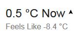 Nothing like an Antarctic blast.
It does snow in Katoomba. This is The Gully in snow in October 2012.