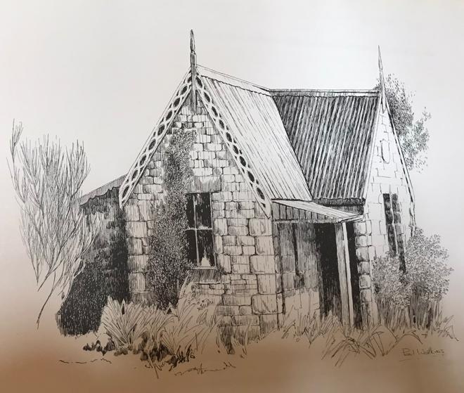
Medlow Bath’s wee isolated heritage 1867 stone cottage stay
21st-23rd October 2026 (Spring):
The two of us have just returned home from checking-out of our stay before 10am.

Reporting in upon return, our latest private getaway had been much needed. It’s been away geographically, though yet not far, nor complicated, nor sophisticated. It was a wonderful break to just simply get away. My wife arranged everything, bless her.
Being based at our home in Katoomba, we’ve just spent 3-days/2-nights stay away both in time and space here; our chosen and new stay destination is situated just 8km away in a heritage 1867 tiny stone cottage isolated on the outskirts of the village of Medlow Bath dating from the colonial 19th Century. Magic!
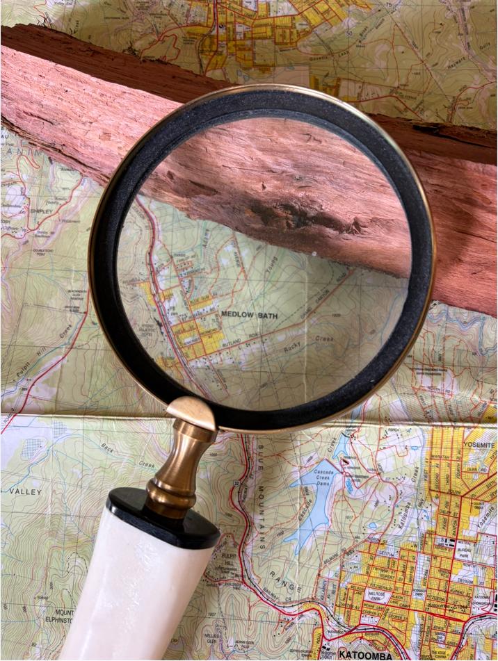
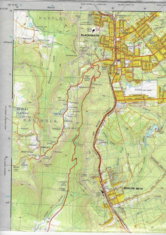
Topo map: ‘KATOOMBA 8930-1S‘, accuracy from 1999. So this map not exactly essential, yeah but it became useful later once I shortly explain…(as was that ironbark cut firewood).
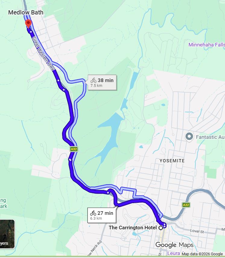
And here’s our indicative transport return route map just up the Great Western Highway:
I guess it’s just since where we live in the Blue Mountains, that why travel to somewhere far away? This, when many from elsewhere seek to holiday where we live in the Blue Mountains.
Our destination stay t’was down this old narrow gravel lane…
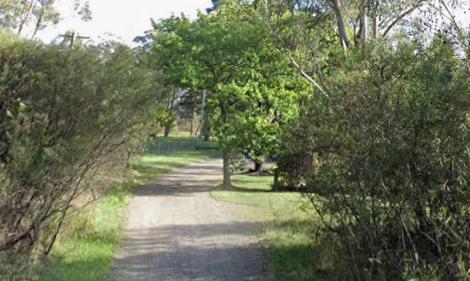
And this 1867 wee stone cottage would be our home for the next two nights…
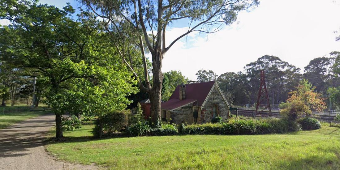
The old Railway Gatekeeper’s Cottage.
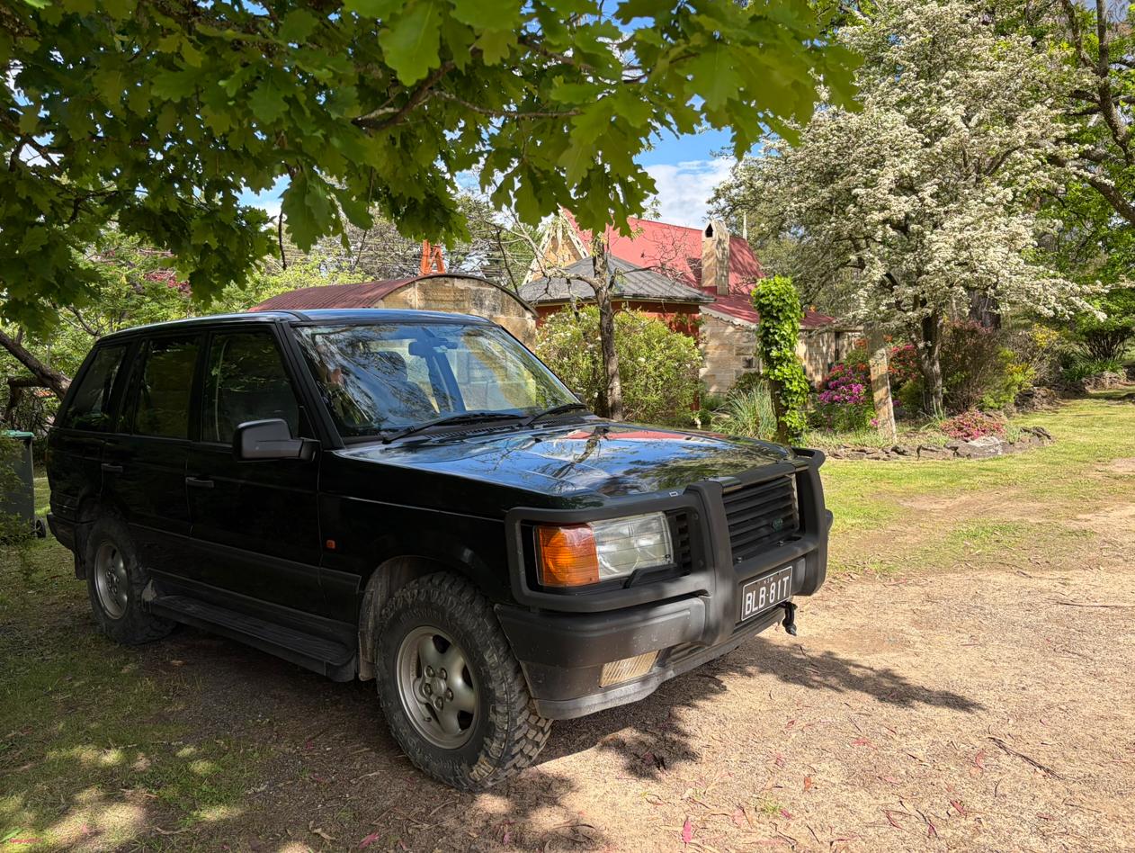
Our chosen stay at Medlow Bath for a few getaway nights, our England-made 4WD parked under a row of old mature English Oaks – one’s British ancestry showing through.

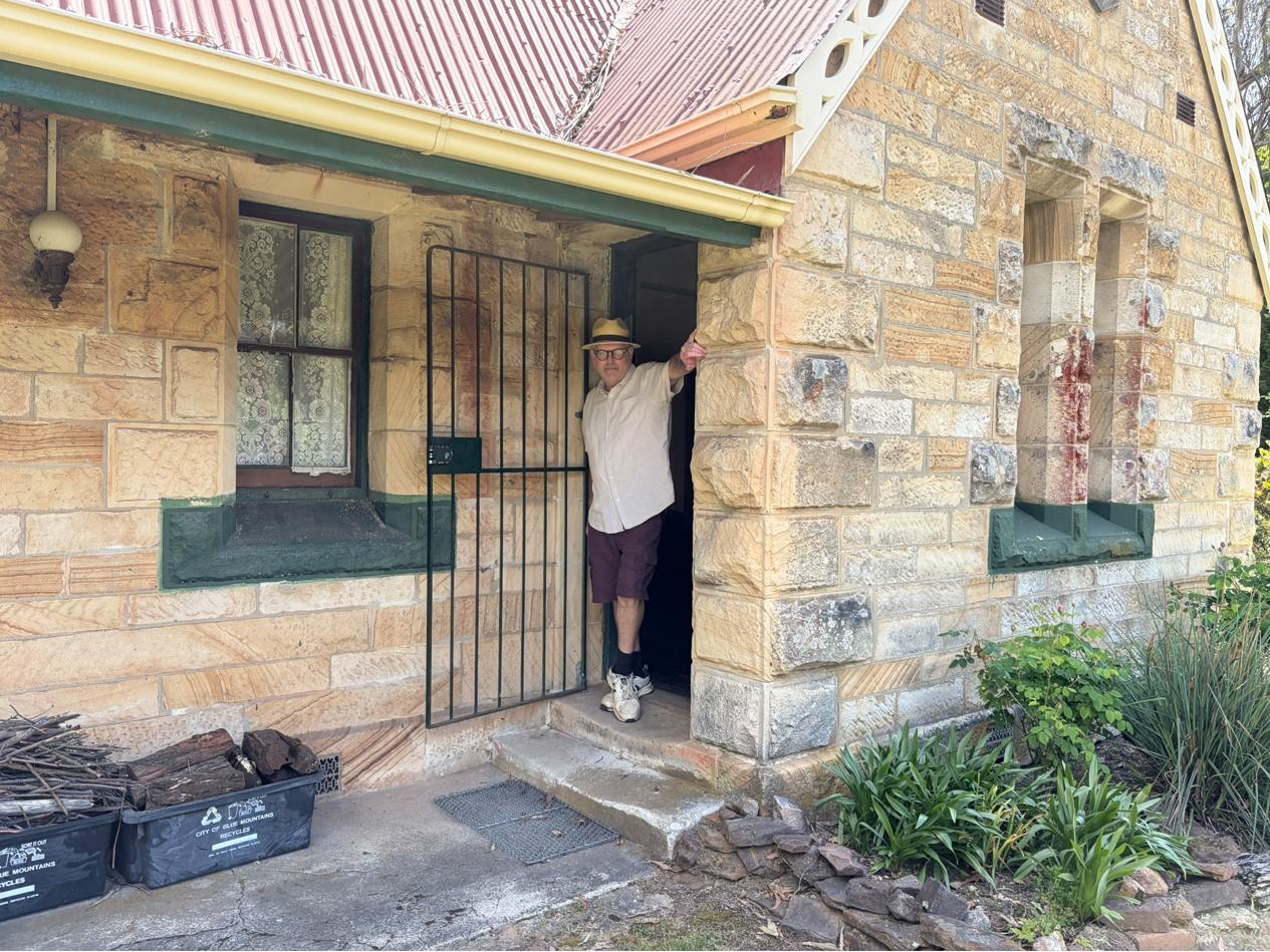
Upon our arrival at our ‘Medlow’ (bath) sandstone stay, no-one was around; it would be just the two of us.
After us having bought supplies at nearby Blackheath, just 5km up the road, and with the local butchers’s meats duly in the fridge, we checked ourselves in and basically took temporary possession of our stay with our gear respectively set up in the living room, kitchen, bathroom and bedroom – as one does in a self-contained stay.
The cottage’s internal layout:
[TBA]
Next, to then explore our immediate environs. We decided to walk further along the gravel vehicular track from out the front of our stay for some distance (maybe 1km). It was up the gravel vehicular track northward from where we were staying.
Now admittedly and frankly, hiking is not fascinating when conducted along a gravel vehicular track. After us walking nearly a kilometre, my wife said this is boring so let’s go back. I agreed, suggesting we return to our stay and do the track in our Range Rover and see what the track presented – risking a locked gate perhaps?
This we did, but thankfully no locked gate. Yet the track proved tricky, getting rockier, less maintained, much narrower (down to car width) yet we managing to venture northward all the way from Medlow to Blackheath along this neglected and rain-flooded old railway service track. It was replete with multiple large puddles (at places the road width wide and two car lengths long) such that only a high clearance 4×4 could reasonably handle.
No wonder Council had placed a warning sign back along Station Street by Belgravia Street: “No Through Road, Authorised Access Only“. Fair call, especially for unsuspecting visitors exploring backroads.
Now, I reckon Station Street might be associated with the railway station at Medlow Bath.
That street then from urban Medlow Bath northward towards Blackheath becomes a service gravel vehicular track (I wouldn’t deem it of ‘road’ status) that rails along the rail corridor along the western side. The map extract below shows vertically from south to north the dominant Great Western Highway and the Main Western Railway as aligned transit corridors.
The gravel vehicular track we drove as a northern extension of Station Street (Medlow Bath) runs similarly aligned close to the railway corridor to Blackheath.
This is the track we drove in our Range Rover.
The big water-filled muddy puddles reminded us of the dodgy access vehicular track from the highway to little-known ‘Hyde Park Reserve Swimming Hole‘ over Hartley Vale way. It’s via Mid-Hartley Road requiring local knowledge along minor backroads. But there is one puddle that even a 4×4 with an air intake snorkle and in low range would not risk attempting the swim. We reckon a few immediate locals had got together and applied an excavator to dig out the track wide puddle to perhaps a 2 metres depth to ‘disuade’ visitor access. It’s worked but. – no tyre tracks to be seen on the other sid of this plunge pool puddle.
One would not recommend a 2-wheel drive vehicle attempt this vehicular track any time soon. But for us this rugged track was a challenging hoot!
The track exits in ‘civilization’ at Blackheath behind a row of houses south along Staveley Parade. Now to locals, that’s the road down to Megalong passed the RSL. The following photso from Google Maps shows the exist looking southwhich warns again as ‘No Through Road’.

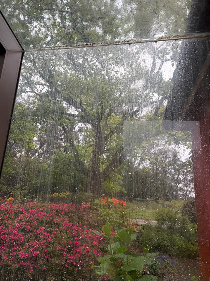
Day 2: It just rained heavily. So for our planned two hiking trips for Day 2 we jointly and sensibly cancelled that idea.
Weather just happens, so best wise to adjust such plans accordingly to suit conditions. We were pretty much confined inside else by car to the Hydro Magestic for pre-booked lunch, which we did.
Anyway, our two nights were spent wonderfully warm around our open wood fire one lit and maintained throughout the night.
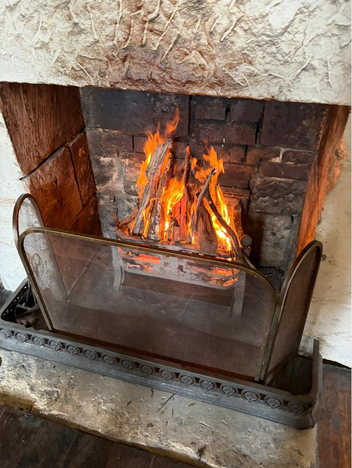
Day 1: The cottage living room fire was simple to get lit, and it blazed and warmed us all night.
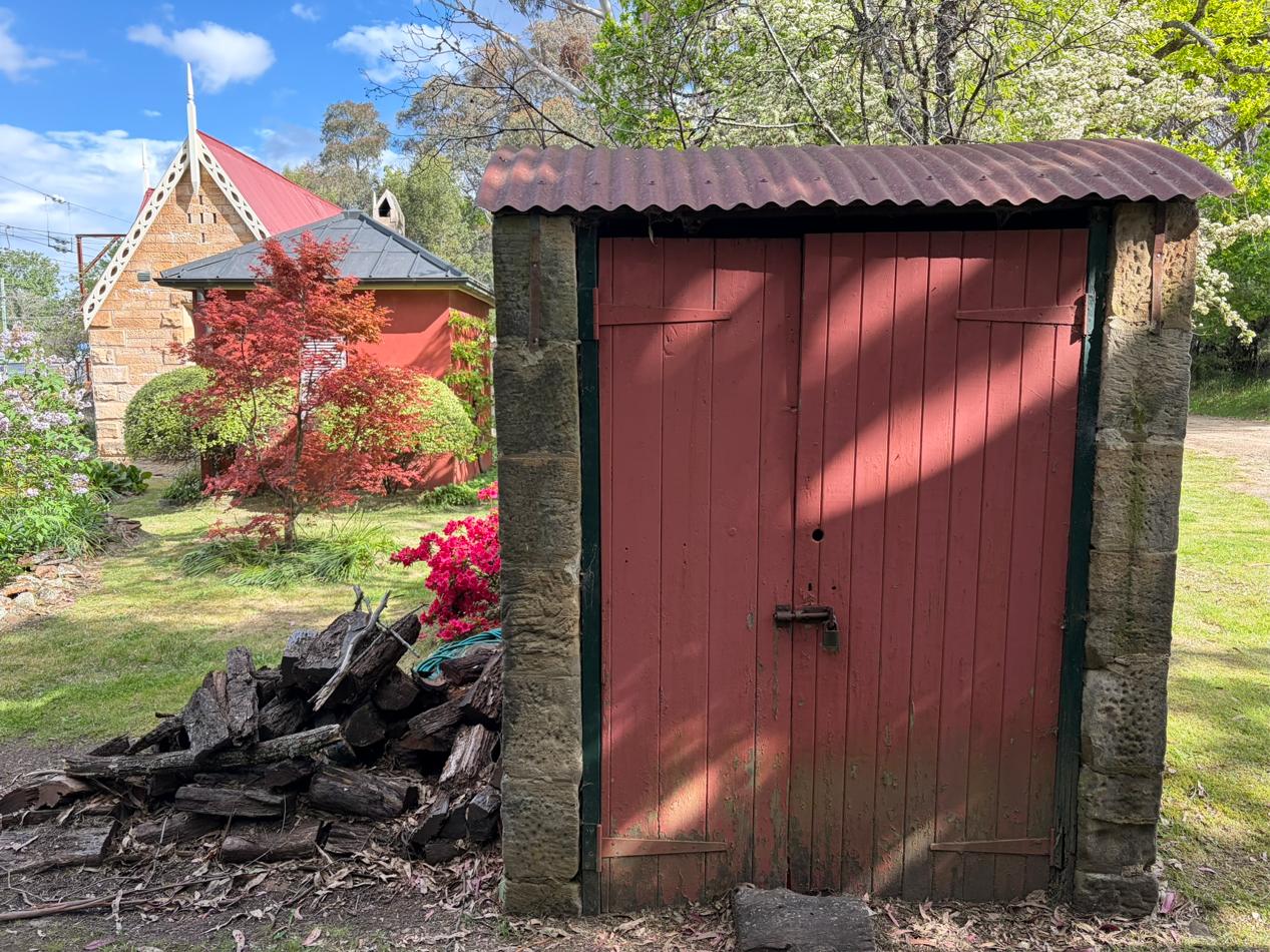
Ye ol’ original dunny away from the house, subsequently being used as a wood shed store.
The modern added bathroom (replete with and copious hot water pressure, shower and separate claw-foor bath and heated tiled floor) is adjoined to the original stone cottage via a short classy glass enclosed corridor across the garden over a flagstone stone path.
More magic!

The author
(to be continued)